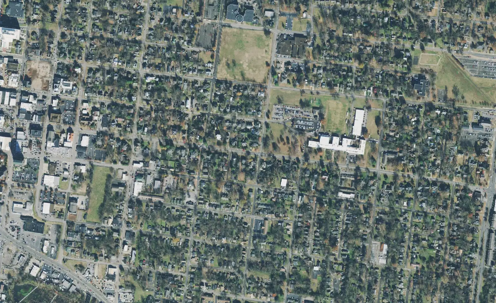
Eight Murfreesboro areas, from downtown to Blackman and Barfield: ZIP codes, zoned high schools and Zillow home values for September 2026.
Last checked Oct. 19, 2026. Sources: the City of Murfreesboro’s Murfreesboro 2035 Comprehensive Plan (chiefly Chapter 4, Land Use (PDF)) and Historic Zoning Commission maps, OpenStreetMap, the Census Bureau’s TIGERweb ZIP code and city boundaries, Rutherford County Schools’ 2026-27 zone map, the state’s 2024-25 letter grades and the Zillow Home Value Index.
Murfreesboro grew out from the courthouse square along a set of radial roads. The city’s comprehensive plan says Middle Tennessee Boulevard, North and South Rutherford Boulevard and Veterans Parkway “form incomplete concentric rings around Murfreesboro’s Downtown.” Interstate 24 cuts across the city from northwest to southeast, and the plan describes a band about two miles wide along I-24, Northwest Broad Street and the CSX rail line that is mostly shops, offices and industry, with homes on both sides.
The city had 161,445 residents in the Census Bureau’s 2020-2024 American Community Survey. Its ZIP codes are 37127, 37128, 37129 and 37130, plus 37132 for the MTSU campus. Several of the areas below reach outside city limits into unincorporated Rutherford County, where the county, not the city, provides services.
What this means for you
- Two school districts: Murfreesboro City Schools teaches pre-K to sixth grade in part of the city; Rutherford County Schools teaches everyone from seventh grade and runs the elementary schools elsewhere. Zones do not follow city limits: check the county zone map and the city schools WebQuery.
- Home values: Zillow’s typical Murfreesboro home was $424,348 in September 2026.
- Inside or outside the city: it decides your tax bills, police and trash service. Ask the Rutherford County Property Assessor, 615-898-7750.
The areas at a glance
The zoned high school is what most of the points we checked fell in on the county’s 2026-27 zone map; several areas are split, as each page shows. Home values are Zillow’s Home Value Index for the area’s main ZIP code in September 2026, a modeled typical value for the middle third of homes, not a sale price.
| Area | ZIP | Zoned high school | Typical home value in the ZIP |
|---|---|---|---|
| Downtown | 37130 | Blackman (part Siegel) | $367,797 |
| East Main Street | 37130 | Oakland (part Siegel, Blackman) | $367,797 |
| MTSU area | 37130 | Oakland | $367,797 |
| The Gateway | 37129 | Blackman (part Siegel) | $442,156 |
| Blackman | 37128 | Blackman (part Stewarts Creek) | $441,238 |
| Salem and New Salem Highway | 37128 | Rockvale | $441,238 |
| Barfield | 37128 | Riverdale (part Rockvale) | $441,238 |
| Walter Hill | 37130 | Oakland and Siegel, split | $367,797 |
Zillow’s figure for ZIP 37127, the southeast side, was $418,386; we have not written an area page for it because no city plan or map names a neighborhood there that we could place.
Downtown
The blocks around the Public Square, City Hall and the courthouse. The plan bounds the core by Broad Street, Front Street, the Lytle and College street blocks and South Academy Street, and proposes extending its character toward New Salem Highway and up Northwest Broad Street. Read the downtown page.
East Main Street
The city’s East Main Street Historic Zone and the North Maney Avenue and East Main Street National Register districts, between the Square and the university, with Oaklands Park to the north. Exterior changes in the local zone go through the Historic Zoning Commission. Read the East Main Street page.
MTSU area
The student and multifamily housing north of Middle Tennessee State University along the Lascassas highways, which the plan proposes to remake as an MTSU Student Village. Two city bus routes serve it. Read the MTSU area page.
The Gateway
Medical Center Parkway between I-24 exit 76 and Northwest Broad Street: hospitals, The Avenue, apartments and homes, with Gateway Island and Old Fort Park on the Stones River. ZIP 37129 was the only Murfreesboro ZIP whose typical value rose over the year. Read the Gateway page.
Blackman
The northwest side, about 7,500 acres west of I-24 in the city’s Blackman Community plan, built around the Blackman elementary, middle and high school campus. Parts are outside city limits. Read the Blackman page.
Salem and New Salem Highway
The southwest corridor along State Route 99, planned in 2001 in three stretches from urban near I-24 to pastoral at the west end. Three city elementary schools sit here, but most of the corridor is zoned for the county’s Rockvale schools. Read the Salem page.
Barfield
The south side around Veterans Parkway and South Church Street, home to the 430-acre Barfield Crescent Park and the greenway’s southern trailhead. Read the Barfield page.
Walter Hill
An unincorporated community on Lebanon Pike north of the city, at the Walter Hill dam on the East Fork Stones River, with its own county elementary school. Read the Walter Hill page.
Map credit
Area locations come from the city’s plan maps and from OpenStreetMap, © OpenStreetMap contributors. City limits and ZIP codes come from the Census Bureau’s TIGERweb service. Road distances on each page were measured on the OpenStreetMap road network.
How we built this
We used only areas a public source names and places on a map:
- The city’s plan: the Murfreesboro 2035 Comprehensive Plan defines downtown, the MTSU Student Village, the Blackman Community and the New Salem Highway corridor, and names The Gateway.
- The city’s historic zoning maps: the East Main Street Historic Zone and the North Maney Avenue and East Main Street National Register districts.
- OpenStreetMap place points: Blackman, Salem, Barfield and Walterhill, checked against Census city boundaries and ZIP codes.
- Schools: we checked 16 evenly spaced points in each area against Rutherford County Schools’ 2026-27 elementary, middle and high school zone layers on Oct. 19, and graded schools with the Tennessee Department of Education’s 2024-25 letter grade file.
We do not name individual subdivisions, rank areas or describe who lives in them. For the wider picture, see our home prices, schools, property taxes and moving to Murfreesboro guides, and how Murfreesboro compares with Smyrna and La Vergne.
Frequently asked questions
What are the neighborhoods in Murfreesboro, Tennessee?
The city’s comprehensive plan names downtown, the East Main Street historic district, the MTSU area, the Gateway, Blackman and the Salem corridor; OpenStreetMap also marks Barfield and Walter Hill. This guide covers those eight areas.
What ZIP codes are in Murfreesboro?
Murfreesboro’s ZIP codes are 37127, 37128, 37129 and 37130, plus 37132 for the Middle Tennessee State University campus. Zillow’s September 2026 typical home values ranged from $367,797 in 37130 to $442,156 in 37129.
Do Murfreesboro school zones follow city limits?
No. Murfreesboro City Schools teaches pre-K to sixth grade in part of the city; Rutherford County Schools teaches everyone from seventh grade, and its zones cross the city line. Check each address on both districts’ lookups.
What is the typical home value in Murfreesboro?
Zillow’s Home Value Index put the typical Murfreesboro home at $424,348 in September 2026, down 0.5% from September 2025. It is a modeled value for the middle third of homes, not a sale price.
Have your say