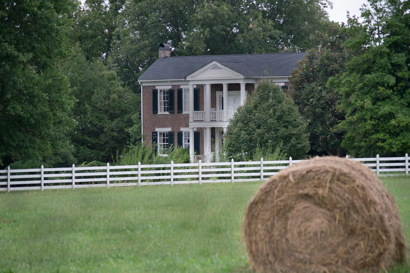
Salem and the New Salem Highway corridor on Murfreesboro's southwest side, ZIP 37128: zoned schools, stores and a $441,238 typical home value in September 2026.
Last checked Oct. 19, 2026. Sources: the City of Murfreesboro’s Murfreesboro 2035 plan, Chapter 4 (PDF), Rutherford County Schools’ 2026-27 zone map, the state’s 2024-25 letter grades, the federal NCES school directory, the Zillow Home Value Index, TDOT’s State Route 99 project page and OpenStreetMap.
Salem is Murfreesboro’s southwest side, along New Salem Highway from I-24 west toward Rockvale. The city planned the corridor in 2001 to keep the highway open between clusters of shops, and the same plan set out to keep the identity of the Salem community.
What this means for you
- Zoned high school: mostly Rockvale High, graded A. Check the district zone map.
- Home value: $441,238 typical value in ZIP 37128 in September 2026, according to the Zillow Home Value Index.
- Nearest I-24 exit: exit 80 (New Salem Highway).
Part of our Murfreesboro neighborhoods guide.
Where it is
The city’s Murfreesboro 2035 plan says a 2001 land use plan for New Salem Highway (State Route 99) studied the corridor from Old Salem Road east to I-24, about six and a half miles, and north to Franklin Road (State Route 96), “an area of approximately 8,400 acres, or 13 square miles.” That Salem Pike Land Use Plan aimed to cluster shops at key intersections instead of in a strip, and to keep “the remaining character and original sense of identity associated with the Salem community.”
The plan divides the highway into three stretches with different building setbacks: a Pastoral segment from the western edge to Rucker Lane, a Transitional segment from Rucker Lane to Cason Lane and an Urban segment from Cason Lane to I-24. It counted about 24,000 cars a day on New Salem Highway in 2010.
TDOT is widening New Salem Highway; see its State Route 99 project page and our road construction page.
Most of the corridor is in ZIP code 37128; the far west end, where OpenStreetMap marks the Salem community, is in ZIP 37153 and outside the Census Bureau’s city boundary. City limits zigzag here, so check whether an address is inside Murfreesboro.
Schools
Both school districts serve this corridor. Murfreesboro City Schools runs three schools in the corridor, according to the NCES school directory:
| City school | Address | Grades | 2024-25 state grade |
|---|---|---|---|
| Salem Elementary | 3275 St. Bernard Drive | Pre-K to 6 | B |
| Scales Elementary | 2340 St. Andrews Drive | K to 5 | C |
| Cason Lane Academy | 1330 Cason Lane | Pre-K to 6 | C |
City families check their school with the MCS WebQuery lookup. Of 16 points we checked across the corridor on Rutherford County Schools’ 2026-27 zone map on Oct. 19, most fell in the county’s Rockvale zones:
| Level | School | Points in zone | 2024-25 state grade |
|---|---|---|---|
| Elementary | Rockvale Elementary | 14 of 16 | A |
| Elementary | Murfreesboro City Schools zone | 2 of 16 | See table above |
| Middle | Rockvale Middle | 13 of 16 | A |
| Middle | Blackman Middle | 2 of 16 | A |
| Middle | Christiana Middle | 1 of 16 | A |
| High | Rockvale High | 15 of 16 | A |
| High | Blackman High | 1 of 16 | B |
The Rockvale schools are on State Route 99 in Rockvale, west of the corridor. See our schools guide.
Home values
Zillow’s Home Value Index put the typical home in ZIP 37128 at $441,238 in September 2026, down 0.9% from $445,042 in September 2025. The citywide figure was $424,348. The index is a modeled typical value for the middle third of homes, not a sale price, and ZIP 37128 also covers Blackman and Barfield. See our home prices page.
Parks and trails
The city’s Cason Bark Park, a fenced dog park at the Cason Trailhead, 1100 Cason Trail, on the greenway’s Stones River Trail, opens at sunrise and closes a half hour before sunset, according to the city’s Bark Parks page. See our parks and trails guide.
Getting around
- I-24: exit 80 (New Salem Highway), as mapped in OpenStreetMap.
- Distances on the road network: 6.2 miles to the Public Square and 31.8 miles to Nashville International Airport, measured from Salem Elementary on the OpenStreetMap road network. These are distances, not drive times.
- Buses: none of the routes in Murfreesboro Transit’s July 2026 ride guide lists a stop in the corridor. The Transit Center, where every route starts, is at 324 New Salem Highway, east of I-24. See our getting around guide.
Groceries and everyday stores
From OpenStreetMap:
- Publix, 2650 New Salem Highway
- Walmart Neighborhood Market, 2478 New Salem Highway
- Walgreens, 2708 New Salem Highway
- CVS Pharmacy, on New Salem Highway
How to check an address
Use the district zone map and the city schools WebQuery, and call the Rutherford County Property Assessor, 615-898-7750, to confirm whether a parcel is inside city limits.
Frequently asked questions
Where is Salem in Murfreesboro?
Salem is the southwest side of Murfreesboro along New Salem Highway (State Route 99). The city’s Salem Pike Land Use Plan covered about 8,400 acres from Old Salem Road east to I-24 and north to Franklin Road.
What high school is the Salem area of Murfreesboro zoned for?
Mostly Rockvale High, graded A by the state for 2024-25. Of 16 points we checked on Rutherford County Schools’ 2026-27 zone map, 15 were zoned for Rockvale High and one for Blackman High.
What ZIP code is Salem in Murfreesboro?
Most of the corridor is in ZIP 37128; its far west end is in Rockvale’s ZIP, 37153. Zillow put the typical home value in 37128 at $441,238 in September 2026, down 0.9% from a year earlier.
Which city schools are in the Salem area?
Murfreesboro City Schools runs Salem Elementary, 3275 St. Bernard Drive, Scales Elementary, 2340 St. Andrews Drive, and Cason Lane Academy, 1330 Cason Lane. Whether a home is zoned for a city school or a county school depends on the address.
Have your say