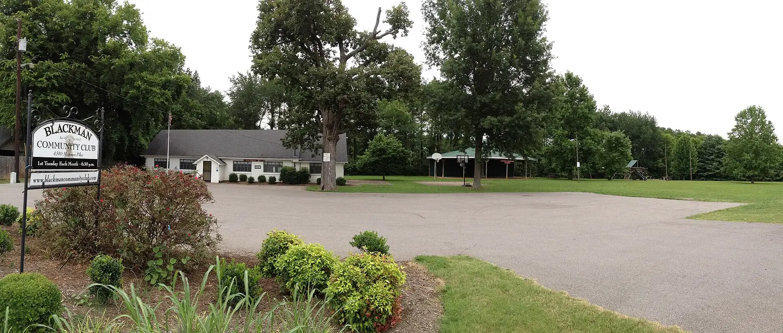
Blackman, Murfreesboro's northwest side, ZIP 37128: the Blackman school campus, zoned high schools and a typical home value of $441,238 in September 2026.
Last checked Oct. 19, 2026. Sources: the City of Murfreesboro’s Murfreesboro 2035 plan, Chapter 4 (PDF), Rutherford County Schools’ 2026-27 zone map, the state’s 2024-25 letter grades, the Zillow Home Value Index, the Census Bureau’s TIGERweb boundaries and OpenStreetMap.
Blackman is the northwest side of Murfreesboro, west of I-24, and the subject of its own city development plan since 2000. It is anchored by the Blackman school campus, where the elementary, middle and high schools share one site.
What this means for you
- Zoned high school: mostly Blackman High, with the north end in the Stewarts Creek High zone. Check the district zone map.
- Home value: $441,238 typical value in ZIP 37128 in September 2026, according to the Zillow Home Value Index.
- Nearest interstate: the I-24 and State Route 840 interchange (I-24 exit 74) and I-24 exit 76 (Medical Center Parkway and Manson Pike).
Part of our Murfreesboro neighborhoods guide.
Where it is
The city’s Murfreesboro 2035 plan says the General Development Plan for the Blackman Community, written in 2000, covers “much of northwestern Murfreesboro,” is “bounded to the east by Interstate 24” and takes in about 7,500 acres. From east to west it is crossed by Manson Pike, State Route 840 and Franklin Road (State Route 96). The main north-south roads are Veterans Parkway (formerly Beesley Road), Fortress Boulevard and Brinkley Road.
Since that plan, interchanges have opened at I-24 and State Route 840 and at Veterans Parkway and State Route 840, and the Blackman school campus “provides a civic hub for the community,” the 2035 plan says. Puckett Creek and Overall Creek meet just north of the campus.
The Blackman school campus is inside city limits in ZIP code 37128. The north end of the area is in ZIP 37129, and the spot OpenStreetMap marks as Blackman, near the Blackman Community Club, is outside the Census Bureau’s city boundary in unincorporated Rutherford County. Whether an address is in the city decides who provides police, fire and trash service and whether a city tax bill comes; see our property taxes guide.
Schools
Blackman is a Rutherford County Schools area at every grade. Of 16 points we checked across Blackman on the district’s 2026-27 zone map on Oct. 19:
| Level | School | Points in zone | 2024-25 state grade |
|---|---|---|---|
| Elementary | Blackman Elementary, 586 Fortress Blvd. | 7 of 16 | B |
| Elementary | Poplar Hill Elementary, 5100 Baker Road | 7 of 16 | New school, not yet graded |
| Elementary | Brown’s Chapel Elementary | 2 of 16 | C |
| Middle | Poplar Hill Middle, 3695 Blackman Road | 9 of 16 | New school, not yet graded |
| Middle | Blackman Middle, 3945 Blaze Drive | 7 of 16 | A |
| High | Blackman High, 3956 Blaze Drive | 11 of 16 | B |
| High | Stewarts Creek High | 4 of 16 | A |
| High | Blackman High and Siegel High dual zone | 1 of 16 | B and A |
Blackman High had 2,233 students in the federal 2023-24 count, according to the NCES school directory. More in our schools guide.
Home values
Zillow’s Home Value Index put the typical home in ZIP 37128 at $441,238 in September 2026, down 0.9% from $445,042 in September 2025. In ZIP 37129, which covers the north end, it was $442,156, up 0.2%. The citywide figure was $424,348. The index is a modeled typical value for the middle third of homes, not a sale price, and both ZIP codes reach well beyond Blackman. See our home prices page.
Getting around
- Interstates: I-24 exit 74 (State Route 840) and exit 76 (Medical Center Parkway), with State Route 840 interchanges inside the area, as mapped in OpenStreetMap.
- Distances on the road network: 6.3 miles to the Public Square and 25.7 miles to Nashville International Airport, measured from the Blackman school campus on the OpenStreetMap road network. These are distances, not drive times.
- Buses: none of the seven routes in Murfreesboro Transit’s July 2026 ride guide lists a stop in Blackman. The nearest service is The Avenue route on Medical Center Parkway. See our getting around guide.
Groceries and everyday stores
From OpenStreetMap:
- Publix, 4175 Franklin Road, and Publix, 5229 Veterans Parkway
- Kroger, 4432 Veterans Parkway
- Aldi, 5109 Franklin Road
- Walmart Neighborhood Market, 1153 Fortress Blvd.
- CVS Pharmacy, 4058 Franklin Road
The Avenue Murfreesboro, on Medical Center Parkway, is the nearest large shopping center.
Parks
The nearest large city parks are Old Fort Park, 1025 Old Fort Parkway, and Gateway Island, 1875 W. College St., to the east. See our parks and trails guide and our Gateway page.
How to check an address
Use the district zone map for schools and the Rutherford County Property Assessor, 615-898-7750, to confirm whether a parcel is inside city limits.
Frequently asked questions
Where is Blackman in Murfreesboro?
Blackman is the northwest side of Murfreesboro. The city’s plan for the Blackman Community covers about 7,500 acres west of I-24, crossed by Manson Pike, State Route 840 and Franklin Road, with Veterans Parkway, Fortress Boulevard and Brinkley Road running north and south.
What high school is Blackman zoned for?
Mostly Blackman High, which earned a B in the state’s 2024-25 letter grades. Of 16 points we checked on Rutherford County Schools’ 2026-27 zone map, 11 were zoned for Blackman High, four for Stewarts Creek High and one for a Blackman and Siegel dual zone.
What ZIP code is Blackman in Murfreesboro?
Most of Blackman, including the Blackman school campus, is in ZIP 37128, with the north end in 37129. Zillow put the typical home value in 37128 at $441,238 in September 2026, down 0.9% in a year.
Is Blackman inside Murfreesboro city limits?
Partly. The Blackman school campus is inside the city, but parts of the Blackman community, including the point OpenStreetMap marks as Blackman, are in unincorporated Rutherford County. Check the address.
Have your say