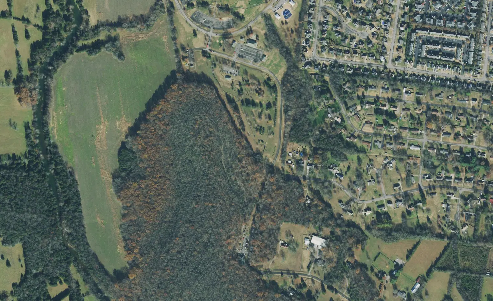
Barfield on Murfreesboro's south side, ZIP 37128: Barfield Crescent Park, zoned for Riverdale High and a $441,238 typical home value in September 2026.
Last checked Oct. 19, 2026. Sources: OpenStreetMap, the City of Murfreesboro’s Barfield Crescent Park and mountain bike trails pages, Rutherford County Schools’ 2026-27 zone map and school locations, the state’s 2024-25 letter grades, the Zillow Home Value Index and the Murfreesboro Transit ride guide (PDF).
Barfield is the south side of Murfreesboro around Veterans Parkway, South Church Street (U.S. 231) and the city’s largest park, Barfield Crescent Park. OpenStreetMap marks the Barfield community just northwest of the park.
What this means for you
- Zoned high school: mostly Riverdale High, graded A. Check the district zone map.
- Home value: $441,238 typical value in ZIP 37128 in September 2026, according to the Zillow Home Value Index.
- Nearest I-24 exits: exit 81 (U.S. 231, Church Street) and exit 84 (Joe B. Jackson Parkway).
Part of our Murfreesboro neighborhoods guide.
Where it is
Barfield sits south of Rutherford Boulevard and west of South Church Street. Veterans Parkway runs through it to Barfield Crescent Park and Barfield Elementary, both on Veterans Parkway.
The area is in ZIP code 37128. Barfield Elementary and the streets around it are inside city limits, but the point OpenStreetMap marks as Barfield is outside the Census Bureau’s city boundary in unincorporated Rutherford County. Whether a home is inside the city decides whether a city tax bill comes and who collects trash; see our property taxes guide and trash pickup guide.
Schools
Barfield is a Rutherford County Schools area at every grade. Of 16 points we checked across the area on the district’s 2026-27 zone map on Oct. 19:
| Level | School | Points in zone | 2024-25 state grade |
|---|---|---|---|
| Elementary | Barfield Elementary, 350 Veterans Parkway | 14 of 16 | A |
| Elementary | Rockvale Elementary | 2 of 16 | A |
| Middle | Christiana Middle, 4675 Shelbyville Pike, Christiana | 16 of 16 | A |
| High | Riverdale High, 802 Warrior Drive | 14 of 16 | A |
| High | Rockvale High | 2 of 16 | A |
Christiana Middle is in Christiana, about 4 miles south of Barfield Elementary in a straight line. More in our schools guide.
Home values
Zillow’s Home Value Index put the typical home in ZIP 37128 at $441,238 in September 2026, down 0.9% from $445,042 in September 2025. The citywide figure was $424,348. The index is a modeled typical value for the middle third of homes, not a sale price, and ZIP 37128 also covers Blackman and the Salem corridor. See our home prices page.
Parks and trails
Barfield Crescent Park, 697 Veterans Parkway, is 430 acres, open sunrise to 9 p.m. It has:
- picnic shelters for groups from 24 to more than 300
- a baseball and softball complex and an 18-hole disc golf course
- two playgrounds, campsites and more than 7 miles of paved and unpaved walking trails
- the southern trailhead of the greenway’s 10.5-mile Stones River Trail, which runs north to the Thompson Lane Trailhead
- more than 7 miles of mountain bike trails at the south end, reached from U.S. 231 via Oak Meadows Drive; helmets are mandatory
See our parks and trails guide.
Getting around
- I-24: exit 81 (U.S. 231, Church Street) and exit 84 (Joe B. Jackson Parkway), as mapped in OpenStreetMap.
- Distances on the road network: 4.8 miles to the Public Square and 31.4 miles to Nashville International Airport, measured from Barfield Elementary on the OpenStreetMap road network. These are distances, not drive times.
- Buses: Murfreesboro Transit’s July 2026 ride guide shows the South Church route stopping on South Church Street at Rutherford Boulevard and at Warrior Drive, the nearest stops to Barfield. Buses run weekdays 6 a.m. to 6 p.m. See our getting around guide.
Groceries and everyday stores
From OpenStreetMap:
- Kroger, 2946 S. Church St.
- Aldi, 3439 S. Church St.
- Walmart Supercenter, 140 Joe B. Jackson Parkway
- Walgreens, 3010 S. Church St.
- Health Mart pharmacy, 3138 Highway 231
How to check an address
Use the district zone map and call the Rutherford County Property Assessor, 615-898-7750, to confirm whether a parcel is inside city limits.
Frequently asked questions
What high school is Barfield in Murfreesboro zoned for?
Mostly Riverdale High, graded A by the state for 2024-25. Of 16 points we checked on Rutherford County Schools’ 2026-27 zone map, 14 were zoned for Riverdale High and two for Rockvale High.
How big is Barfield Crescent Park?
Barfield Crescent Park, 697 Veterans Parkway, covers 430 acres. It has picnic shelters, a baseball and softball complex, an 18-hole disc golf course, more than 7 miles of walking trails and more than 7 miles of mountain bike trails.
What ZIP code is Barfield in Murfreesboro?
ZIP code 37128. Zillow put the typical home value in 37128 at $441,238 in September 2026, down 0.9% from September 2025.
Which elementary school serves Barfield?
Barfield Elementary, 350 Veterans Parkway, a Rutherford County school for kindergarten to fifth grade that earned an A in the state’s 2024-25 letter grades. Most of the area is in its zone.
Have your say